
The northern stretch of the wild southern Pangalanes Canal from Mananjary to Mahanoro takes you through an incredibly authentic, roadless water corridor. This 3-day journey moves past vibrant spice ports, ancient cultural mysteries, and dense coastal jungles that remain completely untouched by mainstream tourism.
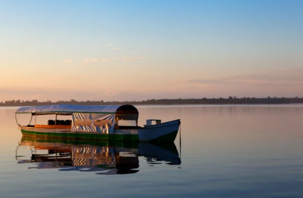
Traveling this historic colonial waterway is a true slow-travel experience. You will navigate past traditional Betsimisaraka and Antambahoaka fishing villages, explore unique local taboos (fady), and witness a way of life that relies entirely on water networks for survival. With challenging overland roads making vehicle access nearly impossible, this expedition is almost exclusively accessible by traditional riverboats.
The 3-Day Northern Canal Itinerary
Day 1: Mananjary → Ambohitsara → Nosy Varika
Your expedition launches from Mananjary, a tranquil coastal town renowned for its aromatic plantations of vanilla, coffee, and cloves. This area is the heartland of the Antambahoaka people, famous for their sacred Sambatra collective circumcision festival celebrated every seven years. After exploring the local spice markets, you board your boat and head north to the historic village of Ambohitsara.
Ambohitsara holds one of the canal’s greatest archaeological mysteries: the “Vatolahy” or “White Elephant” stone statue. Guarded under a rustic shelter on a high sand mound overlooking the Fanantara River, this ancient sculpture’s true origins divide historians—some seeing an Asian elephant caravan influence, others interpreting it as a sacred zebu or wild boar. You end the day navigating deep into Nosy Varika, an isolated jungle outpost accessible almost entirely by water, named after the lemurs (“varika”) that haunt the nearby forests.
Day 2: Nosy Varika → Masomeloka
Leaving the outpost of Nosy Varika behind, the canal narrows as you glide toward Masomeloka, a peaceful river settlement sitting right at the mouth of the powerful Masora River. The banks here are heavily blanketed in dense, tropical vegetation, dominated by towering raffia palms, thick bamboo groves, and native pandanus trees.
Time completely stands still in Masomeloka. You will step ashore to walk among traditional stilt wooden houses, observing timeless rural rhythms of net-fishing, riverside farming, and intricate mat-weaving under the shade of the tropical canopy. It offers a pure, distraction-free immersion into Madagascar’s east coast village life.
Day 3: Masomeloka → Mahanoro
The final navigation leg brings you to Mahanoro, a coastal town built along a narrow strip of land pinned between the rolling waves of the Indian Ocean and the quiet waters of the canal. The town’s name pays tribute to a nearby natural spring celebrated for its healing properties. This region is home to the Betsimisaraka and Antaimoro peoples, creating a beautiful mix of coastal cultures.
Depending on seasonal water depths, you can explore the nearby Ambetoafo (Tsiadana and Maibola) waterfalls or wander through the bustling trading ports. Mahanoro serves as a crucial economic transshipment hub, marking the boundary where the continuous southern canal tracks transition into the unnavigable marshlands further north.
| Day | Route & Highlights | Accommodation |
|---|---|---|
| Day 1 | Mananjary → Ambohitsara (White Elephant) → Nosy Varika | Wild Camping / Local Outpost |
| Day 2 | Nosy Varika → Peaceful Canal Navigation → Masomeloka | Riverside Wilderness Camping |
| Day 3 | Masomeloka → Ambetoafo Waterfalls → Mahanoro Arrival | Mahanoro End Station |
What Makes This Journey Special
Unlike the busier resort lanes further north near Akanin’ny Nofy, this specific route targets a highly isolated, commercial-free corridor. The infrastructure is beautifully simple—there are no fast speedboats or luxury eco-lodges along these channels. Instead, you share the waters with local fruit-laden pirogues and bamboo rafts. It is a true expedition through unpopulated marsh woodlands, historic colonial channels, and wild tropical landscapes that are slowly reclaiming the ancient waterway.